Homes
Loading listings...
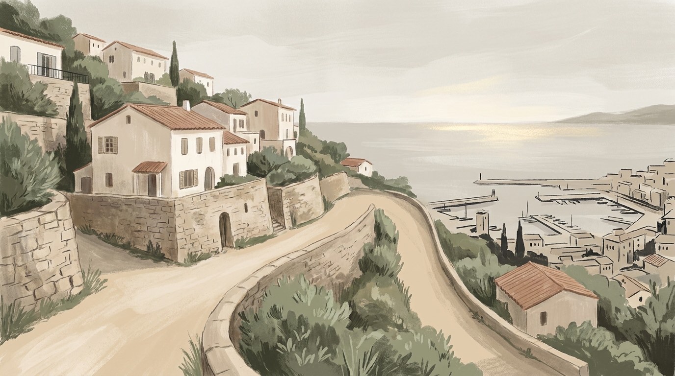
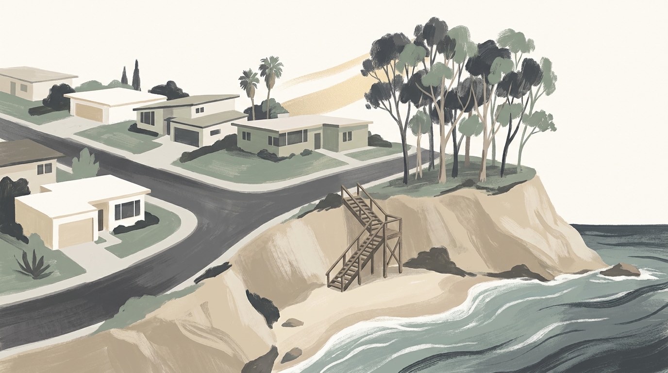
Search Santa Barbara's for-sale market as it updates: MLS-sourced pricing, photo galleries, and property specifics mapped across hillside neighborhoods like the Riviera, bluff-top blocks on the Mesa, and coastal pockets near West Beach and downtown.
Santa Barbara, CA Market Snapshot
as of Sep 10, 2026
$3,472,500
Single-family median
$1,460,000
Condo-townhome median
106
Active homes
Active MLS residential listings in Santa Barbara. How this is calculated
Living in Santa Barbara
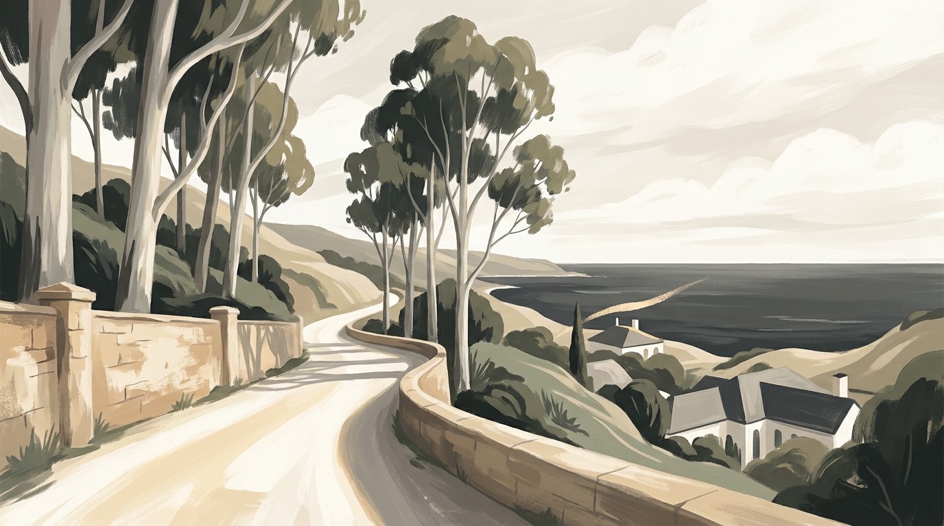
Santa Barbara is a charter city on a south-facing stretch of coast, and that orientation is the first thing to understand about it. The California coastline here runs east to west rather than north to south, so the city looks out at the Channel Islands across the water instead of west into open ocean. It sits on a narrow shelf between the Santa Ynez Mountains, whose front-country peaks reach several thousand feet within a few miles of downtown, and the Pacific. The 2020 Census counted 88,665 residents. Government is a council-administrator structure with a directly elected mayor and six council members elected by district.
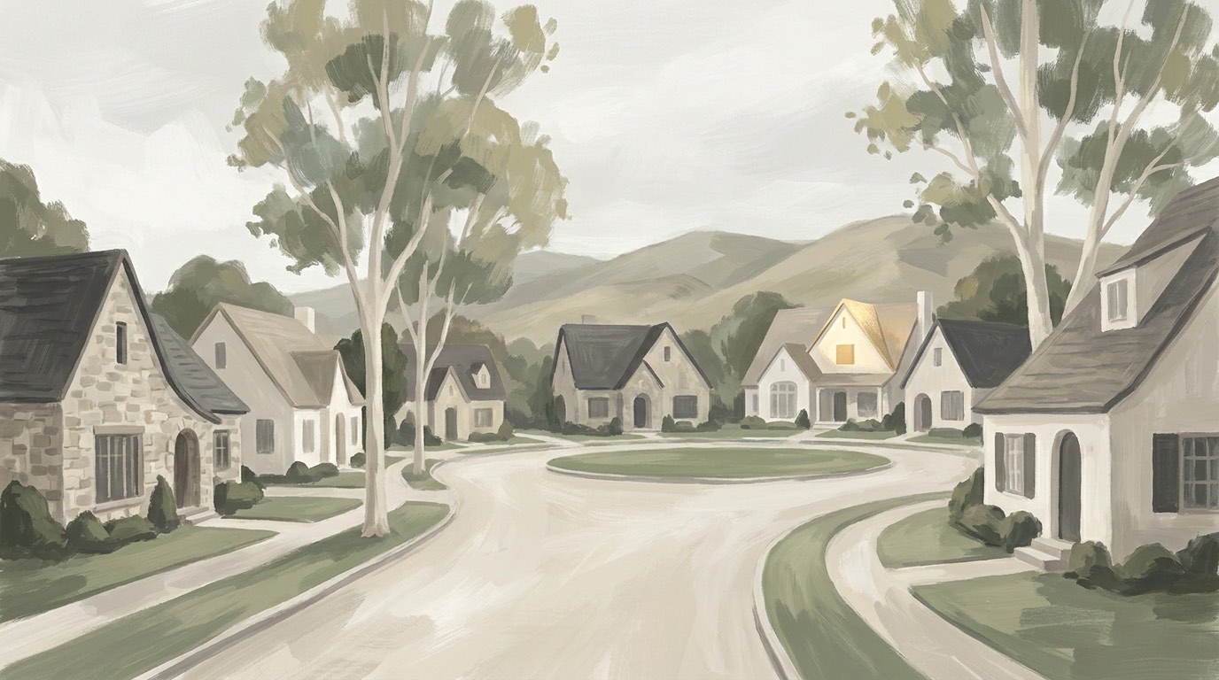
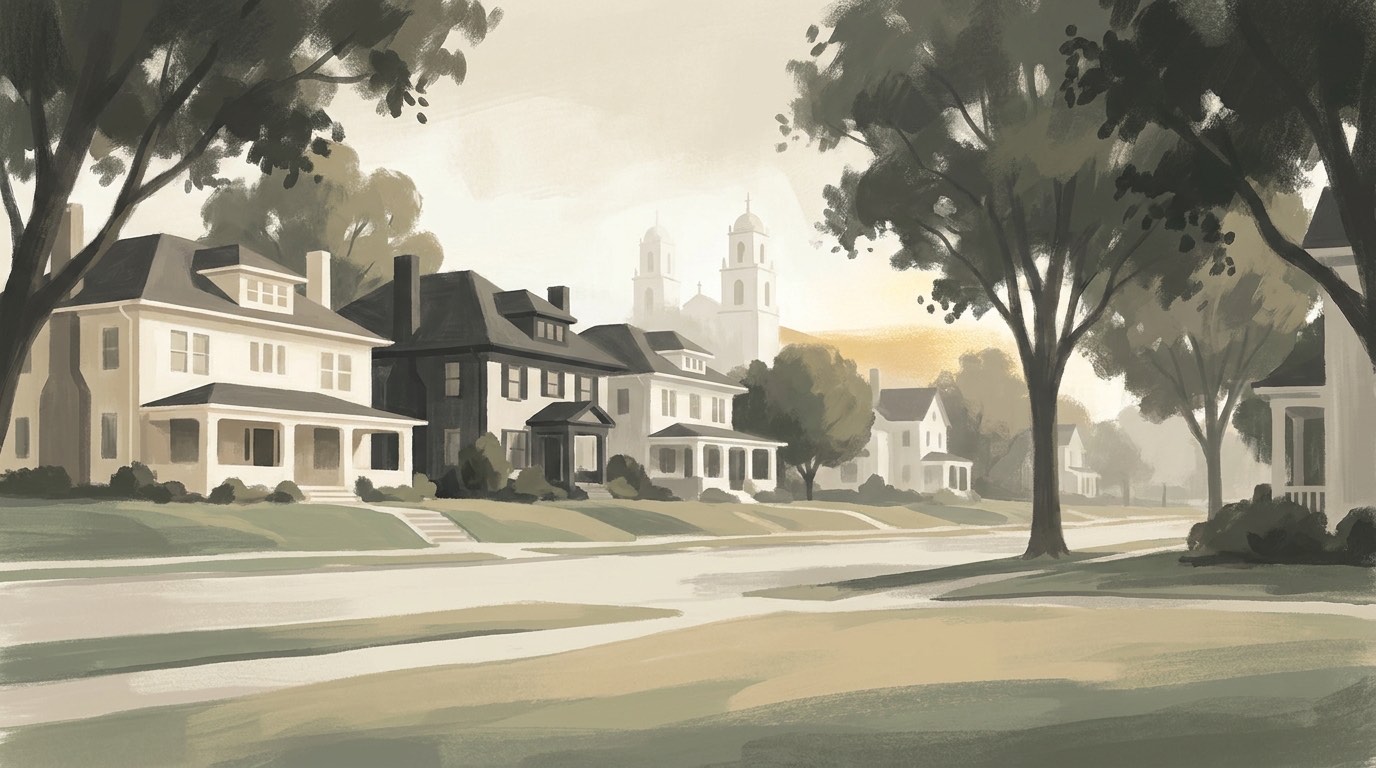
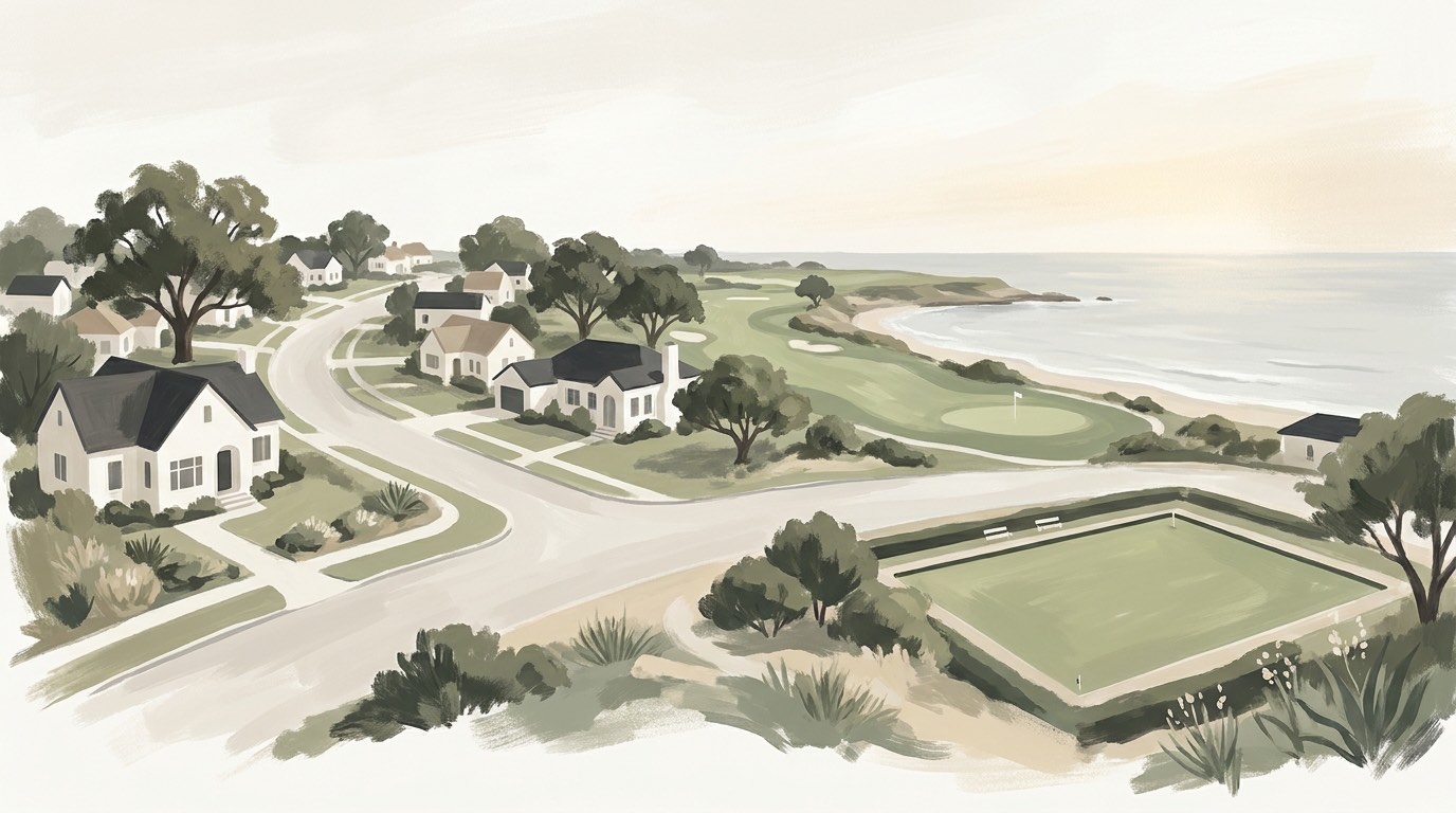
The most expensive mistake out-of-area buyers make here is confusing a mailing address with a jurisdiction. Hope Ranch and Mission Canyon both carry Santa Barbara addresses and ZIP codes, and neither is inside the city limits. Both are unincorporated Santa Barbara County, which means county rather than city permitting and county sheriff jurisdiction. Mission Canyon has its own roughly 1,122-acre planning area immediately north of and contiguous to the city. Neighborhoods that genuinely sit inside the incorporated city include the Riviera, the Mesa, San Roque, the Upper East, West Beach, Samarkand, Eucalyptus Hill, Hidden Valley, the Funk Zone and Downtown.
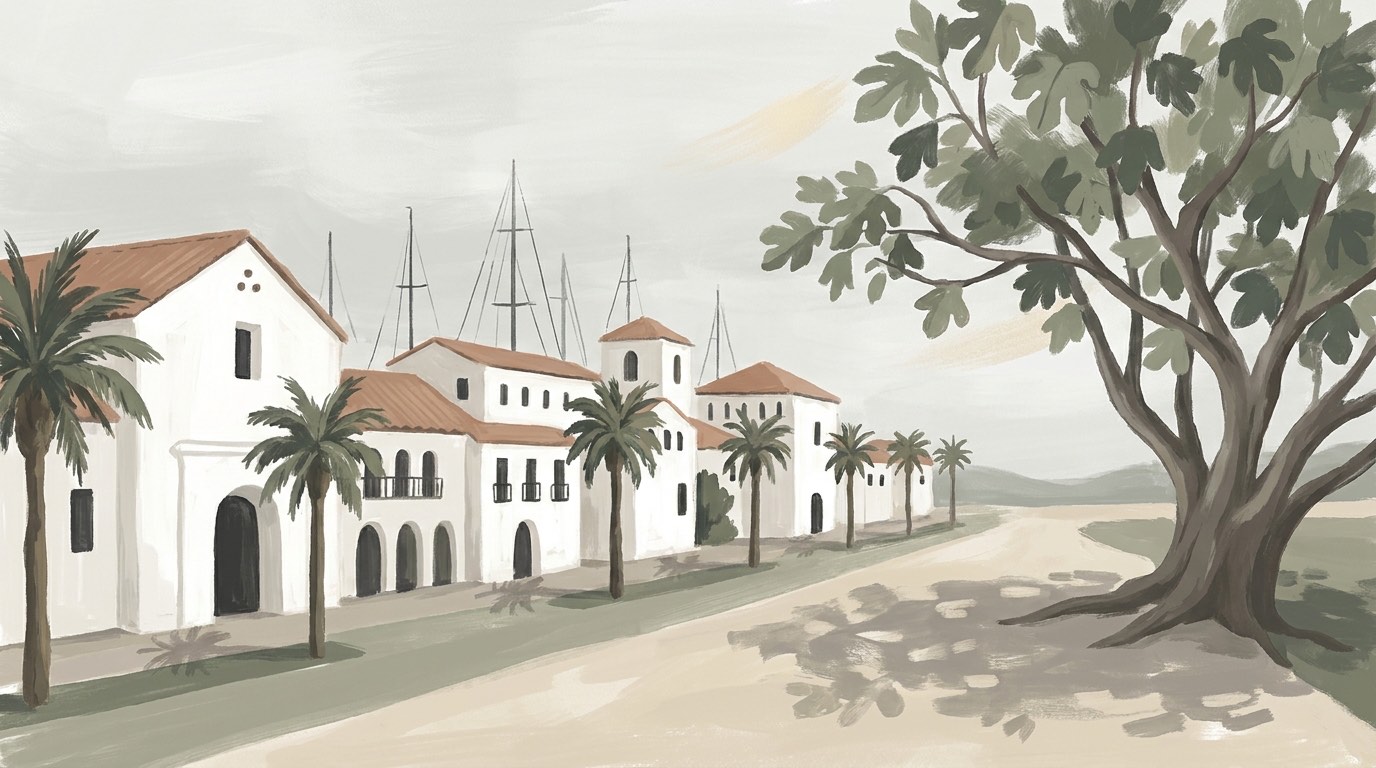
Design review is real here and it binds. The El Pueblo Viejo Landmark District codifies the Spanish Colonial Revival rebuild that followed the 1925 earthquake, and every property inside it falls under the City's Historic Landmarks Commission for exterior alterations and new construction. The district covers two non-contiguous parts, one around the Royal Presidio, the State Street commercial corridor and Cabrillo Boulevard, and a second around the Mission. Separately, a 1972 charter amendment approved by voters capped building heights citywide, and those caps still govern: 30 feet in one- and two-family residential zones, three stories and no more than 45 feet in multiple-family zones, and 60 feet in C-2 commercial, though new C-2 construction is held to 45 feet unless a project qualifies as a Community Benefit Project. Budget for review time if you plan to renovate a downtown-adjacent property.
On the amenity side, the City's Waterfront Department manages roughly 252 acres of tidelands and submerged lands, including the city-owned Santa Barbara Harbor and Stearns Wharf. Roughly ten blocks of State Street have been closed to vehicle traffic since 2020, and the State Street Master Plan governing what happens next is still an open process rather than a settled outcome, so treat the current configuration as provisional. For open space, the Douglas Family Preserve sits at 68.35 acres on the bluff above Arroyo Burro Beach and is one of the few local spaces permitting off-leash dogs under sight and voice control. One correction worth carrying: Elings Park is not a city park. It is run by the nonprofit Elings Park Foundation and receives no government funds for upkeep, despite being routinely miscategorized as municipal. The Jesusita Trail runs seven miles out and back to Inspiration Point at 1,800 feet.
Santa Barbara Neighborhoods
What's on in Santa Barbara


More to explore in Santa Barbara
Popular Santa Barbara searches
- Santa Barbara Pool Homes for Sale
- Santa Barbara View Homes for Sale
- Santa Barbara Ocean-View Homes for Sale
- Santa Barbara Pool Homes with Views for Sale
- Santa Barbara Luxury Homes for Sale
- Santa Barbara Gated-Community Homes for Sale
- Santa Barbara Single-Story Homes for Sale
- Santa Barbara Homes with Land for Sale
Guides and home values
Is Santa Barbara the same as Santa Barbara County?
No. The City of Santa Barbara is one incorporated city within Santa Barbara County, which also includes Montecito, Carpinteria, Goleta, and other communities. Out-of-town buyers sometimes use "Santa Barbara" loosely to describe the broader South Coast; confirm which one a listing or market report actually describes.
What are Santa Barbara's neighborhoods, and which nearby areas aren't actually inside the city?
Within city limits, established neighborhoods include the Riviera, the Mesa, San Roque, Upper East, West Beach, Samarkand, Eucalyptus Hill, Hidden Valley, the Funk Zone, and Downtown. Hope Ranch and Mission Canyon are frequently marketed as Santa Barbara neighborhoods but are unincorporated Santa Barbara County land, governed by the county rather than the city, despite sharing Santa Barbara postal addresses.
Is Hope Ranch part of the City of Santa Barbara?
No. Hope Ranch is an unincorporated area of Santa Barbara County, part of the Eastern Goleta Valley census-designated place, with the county sheriff holding primary law-enforcement jurisdiction there rather than the city. It should not be described as being in the City of Santa Barbara despite the shared postal address.