Santa Barbara, CA
San Roque
San Roque climbs the foothills northwest of downtown Santa Barbara, its city-platted acreage running from Foothill Road at the top down to the commercial strip above State Street, bounded on the east by San Roque Road and on the west by Arroyo Burro Creek. The whole neighborhood sits inside city limits, including the elevated corridor near San Roque Road and Alamar Avenue that real-estate listings label "Above Foothill" — that ground became part of Santa Barbara in the 1920s at the request of developer Stephen Rutherford, whose original tract still anchors the district. A city-commissioned architectural survey completed in 2025 catalogued 279 pre-1980 buildings in the historic core and identified 62 of them as candidates for potential local landmark eligibility, documenting six distinct building styles raised between the early 1900s and the 1970s — Spanish Colonial Revival, English and Tudor Revival, Craftsman, American Colonial Revival, Minimal Traditional, and Ranch — which gives the streets a varied, individually built character rather than a single builder's stamp. Many blocks still go without sidewalks, a holdover from the original 1920s subdivision layout. There is no gate and no homeowners association; the area sits under standard single-family city zoning. San Roque Park and Stevens Park, both turned over to the city in 1939 on land once slated for a private golf course, anchor the neighborhood's open space alongside Willowglen, with a trail connection climbing toward the Los Padres foothills. A short walk reaches the Loreto Plaza retail corridor on Upper State Street, home to a longtime independent bookstore and a decades-old neighborhood cafe.

Homes for Sale in San Roque
View all San Roque listings →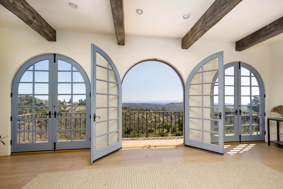
Recently Sold in San Roque
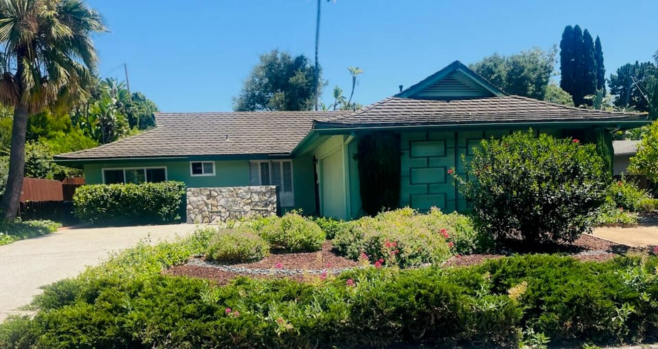
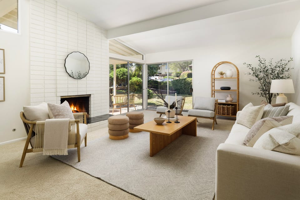
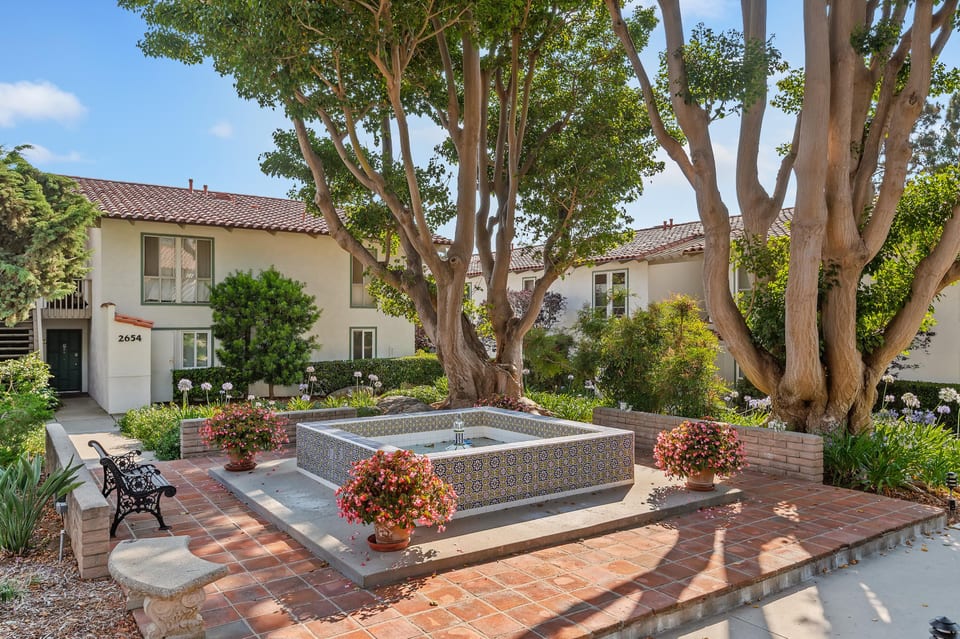


Based on information from the Santa Barbara MLS as of July 27, 2026. Display of MLS data is usually deemed reliable but is NOT guaranteed accurate by the MLS. Buyers are responsible for verifying the accuracy of all information and should investigate the data themselves or retain appropriate professionals. Information from sources other than the Listing Agent may have been included in the MLS data. Unless otherwise specified in writing, Broker/Agent has not and will not verify any information obtained from other sources. The Broker/Agent providing the information contained herein may or may not have been the Listing and/or Selling Agent.
What defines it
- Entirely within Santa Barbara city limits, including the "Above Foothill" corridor near San Roque Road and Alamar Avenue
- City-commissioned 2025 survey catalogued 279 pre-1980 buildings and recommended 62 for potential local historic-landmark eligibility
- Six architectural styles present, from Spanish Colonial Revival and Craftsman to Tudor Revival and Ranch, built across six decades
- No gate, no HOA — individual-lot single-family city zoning throughout
- Many streets still lack sidewalks, a holdover from the original 1920s subdivision layout
- San Roque Park and Stevens Park, ceded to the city in 1939 on former golf-course land, connect toward the Jesusita Trail
- Upper State Street's Loreto Plaza anchors neighborhood shopping, including a bookstore open since 1974 and a cafe dating to 1968
- School zoning is set by exact street address, not a single side-of-street boundary, spanning separate SBUSD elementary attendance areas
The Housing Stock
San Roque's housing stock skews toward homes built before 1980 on individually developed lots rather than a single subdivision product, with a city-surveyed historic core where dozens of properties have been named as strong candidates for future local landmark designation — worth weighing before planning major exterior work.
Frequently asked
Does San Roque sit entirely within Santa Barbara city limits, or does county jurisdiction reach into any of it?
Entirely within city limits, including the elevated "Above Foothill" section near San Roque Road and Alamar Avenue. That ground became part of the city in the 1920s at the original developer's request, and the city's own boundary map, checked corridor by corridor, shows no unincorporated pocket there.
What architectural styles show up in San Roque homes?
A city-commissioned historic-resources survey identified six character-defining styles built between the early 1900s and the 1970s: Spanish Colonial Revival, English and Tudor Revival, Craftsman, American Colonial Revival, Minimal Traditional, and Ranch. The survey covered 279 pre-1980 buildings in the historic core, with 62 named as strong candidates for future local landmark status.
Does San Roque have a homeowners association or a gate?
No. The neighborhood is built on individual lots under standard city single-family zoning, with no gated entry or HOA structure identified in city planning records.
What schools serve San Roque?
Zoning runs by exact street address rather than a single boundary line. Most of San Roque Road, Argonne Circle, and Alamar Avenue's east side feed into Peabody Charter, then SB Junior High and on to Santa Barbara High; parts of Alamar's west side and the Foothill Road corridor below the 3000 block instead feed Adams or Roosevelt elementary. SBUSD's own lookup is the authority on where any one home actually lands.
What parks and trails are near San Roque?
Three city parks cover the neighborhood: Willowglen, San Roque Park, and a section of Stevens Park. Stevens Park sits on land once slated for a private golf course before the city acquired it in 1939, and it connects toward the Jesusita Trail in the foothills above.
What's the closest everyday shopping and dining for San Roque residents?
Upper State Street's Loreto Plaza serves as the shared retail anchor for the neighborhood, home to Chaucer's Books — an independent bookstore open since 1974 — and Harry's Plaza Cafe, operating since 1968.
Is there still a school called "San Roque Elementary" in the neighborhood?
No — there's no K-12 school by that name running today. A Catholic parish school carrying the name held its first classes in January 1937 near Argonne Circle. City records confirm that founding but don't establish what became of the site afterward, so no later operating school by that name should be assumed there today.