Santa Barbara, CA
The Mesa
The Mesa occupies a tableland of bluffs above Santa Barbara's southern coastline, spanning a little over two and a half miles between the City College/harbor vicinity and Arroyo Burro Beach, with open ocean on one flank and a low ridge of hills on the other. Its Spanish-derived name simply means table, a fitting label for ground so flat it stops rather than tapers into the coastline, several residential streets end at a bluff face instead of blending into a beach. A signal light operated on this stretch of coast starting in December 1856 and remained active until California's 1925 earthquake toppled it. Postwar building arrived with the Marine Terrace tract, raised on former agricultural land as the 1940s were closing out, the district's earliest subdivision of that era. Spring and early summer bring recurring marine-layer fog that settles over the bluffs before burning off. Green space is plentiful without leaving the neighborhood: Douglas Family Preserve covers 68.35 acres with trails and a fenced dog run, passed to city ownership in 1997, while the smaller Shoreline Park contributes a whale-watching overlook and a beach stairway of its own. For direct sand access, walkers descend 241 wooden steps at the foot of Mesa Lane, the sole legal stairway to the water for roughly a mile each way. SBCC's campus sits on the neighborhood's eastern boundary, surrounded by housing built up for students. Municipal planning documents also single out Mesa Lane's shoreline as one where the backing bluff leaves minimal room for the beach to retreat as sea levels climb.

Homes for Sale in The Mesa
View all The Mesa listings →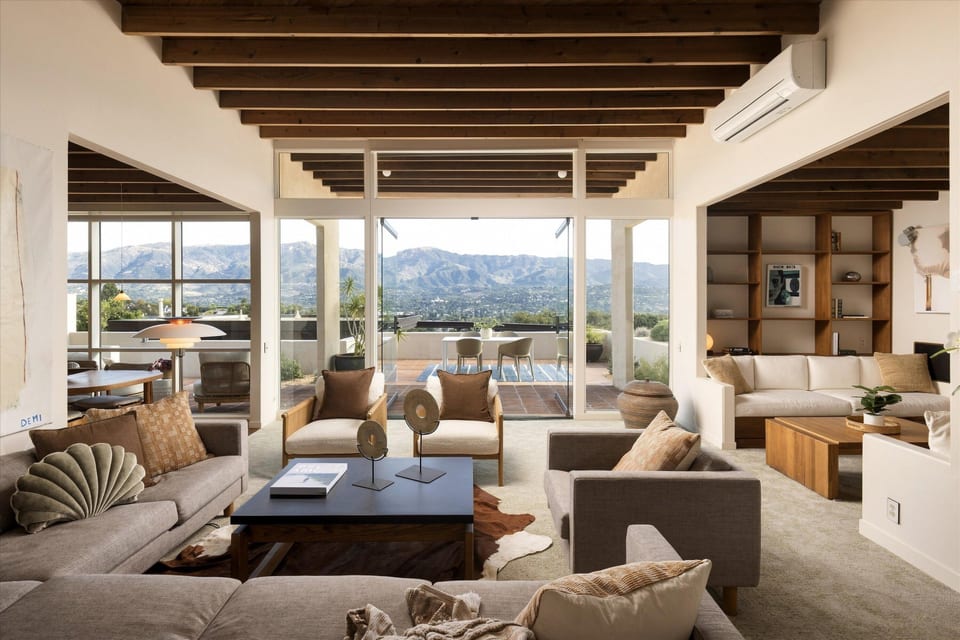
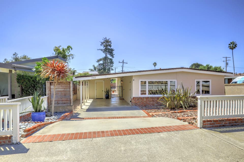
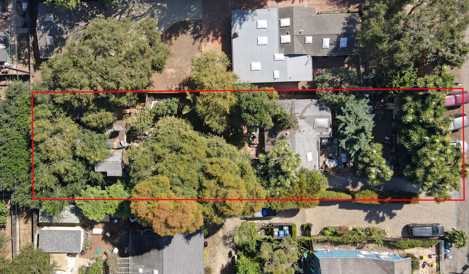
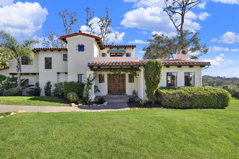
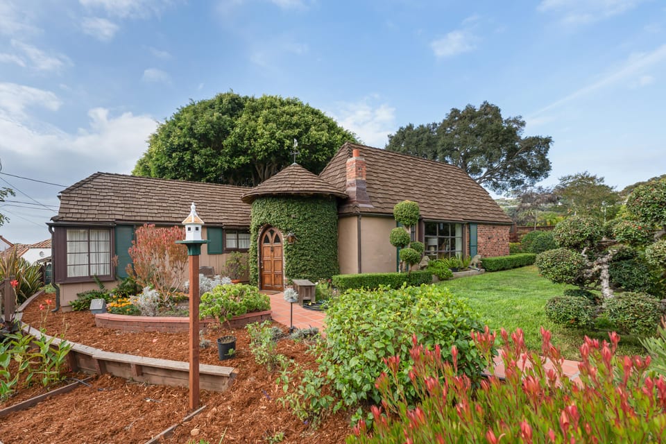
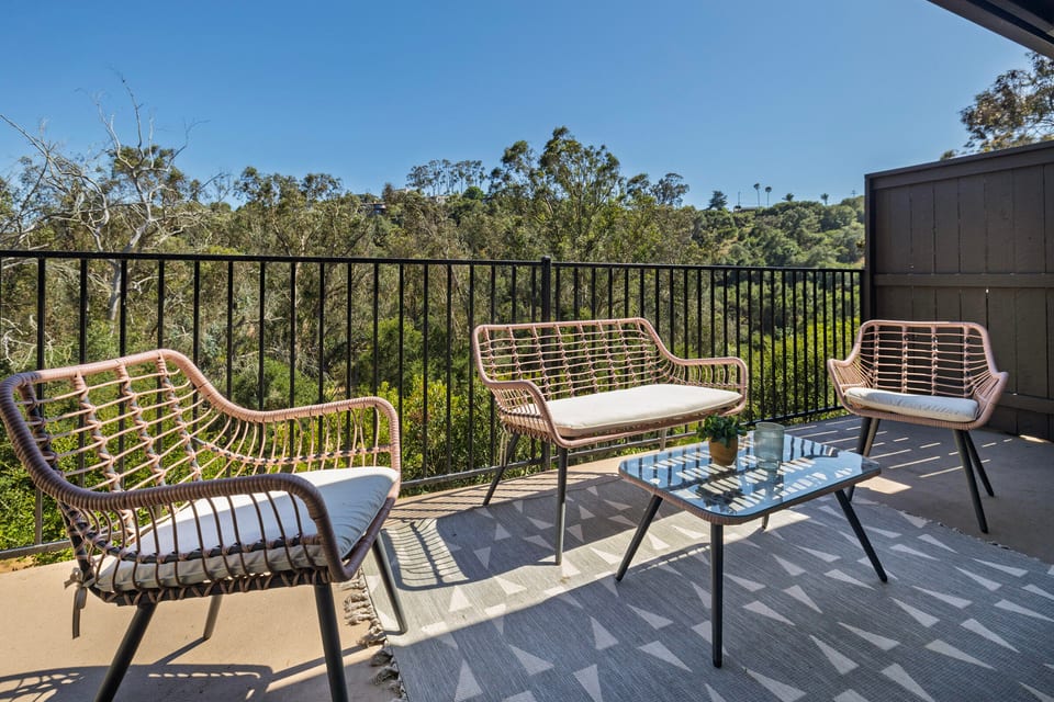
The data relating to real estate for sale on this web site comes from the Internet Data Exchange Program of the Santa Barbara Multiple Listing Service. Real estate listings held by brokerage firms other than the displaying broker(s) are marked with the 'MLS' logo and detailed information about them includes the name of the listing brokers. All properties are subject to prior sale, change or withdrawal. Neither listing broker(s) nor displaying broker shall be responsible for any typographical errors, misinformation, or misprints. 2015 Santa Barbara Multiple Listing Service. All rights reserved.
Where These The Mesa Homes Are
Map data © Google
Recently Sold in The Mesa
Loading recent sales…
Local real estate advisor
Local real estate guidance for The Mesa
Sean San Jose is a top real estate agent and REALTOR® serving Santa Barbara, including The Mesa.
- Professional positioning: Top real estate agent and REALTOR®. Professional positioning provided by Sean San Jose. Source: About Sean San Jose (verified August 2026)
- Professional designation: REALTOR®. Source: Realtor.com profile (verified August 2026)
- California license: DRE #01884586. Source: California DRE record (verified August 2026)
- Client reviews: 60+ five-star client reviews. Review total reported by Sean San Jose. Source: About Sean San Jose (verified August 2026)
What defines it
- Bluff plateau reaching about 2.5 to 2.7 miles, from the City College/harbor vicinity out to Arroyo Burro Beach, ocean on the south side, hills on the north
- Marine Terrace, raised on former farmland as the 1940s ended, stands as the district's first subdivision of the postwar building wave
- Douglas Family Preserve covers 68.35 bluff-top acres passed to city ownership in 1997, with trails and a dog run
- Shoreline Park adds 14.67 acres, including a whale-watching overlook and its own stairway down to the water
- 241 wooden steps at the foot of Mesa Lane give walkers the only legal stairway to the sand within roughly a mile each way
- SBCC's campus on Cliff Drive sits on the neighborhood's east side, ringed by housing built for students
- Monroe Elementary's attendance zone routes forward into La Cumbre for junior high and on to San Marcos for high school
- Marine-layer fog settles over the bluffs on a recurring basis through late spring and early summer
The Housing Stock
The Mesa's housing stock traces to the Marine Terrace tract, built on former farmland as the postwar era began in the late 1940s, the neighborhood's earliest subdivision from that development wave. Character here leans toward an established, built-out coastal plateau rather than a newly developing area.
Frequently asked
How far does the Mesa neighborhood extend along the coast?
The neighborhood covers roughly 2.5 to 2.7 miles of bluff-top terrain, running from the harbor and City College area at its eastern end to Arroyo Burro Beach on the west. The Pacific Ocean lines its southern edge, with a low range of hills marking the boundary to the north.
What does the name Mesa refer to?
Mesa comes from the Spanish word for table, describing the neighborhood's flat bluff-top ground. That flatness is abrupt enough that several streets simply stop above a cliff face instead of easing down toward the shoreline.
Where can Mesa residents reach parks and the beach without leaving the area?
Two city parks sit inside the neighborhood: Douglas Family Preserve, at just over 68 acres with trails and a fenced dog run, and Shoreline Park, nearly 15 acres with a whale-watching overlook. Getting down to the sand itself means the wooden stairway at the foot of Mesa Lane, 241 steps that form the only legal beach entry for roughly a mile on either side.
Which schools does the Mesa feed into?
Monroe Elementary, serving grades K through 6 at 431 Flora Vista Drive, covers the core of the neighborhood. District boundary records route that Monroe zone forward into La Cumbre for junior high and on to San Marcos for high school. Properties toward the neighborhood's edges, such as parts of Meigs Road, sit in a separate zone, so an address-specific check is worthwhile before assuming a school assignment.
Can you walk to Santa Barbara City College from the Mesa?
Yes. Santa Barbara City College operates its Cliff Drive campus right on the neighborhood's eastern side. The college describes the blocks around it as easy walking or biking distance, and several nearby apartment buildings cater specifically to its students.
Does bluff erosion affect the Mesa's coastline?
City sustainability planning lists Mesa Lane among the shoreline segments where a backing bluff leaves little ground for the beach to shift toward as sea levels rise. Separate modeling points to meaningful narrowing of nearby cliff-backed beaches over the coming decades. Both are treated in current municipal materials as a planning-horizon issue, not a statement about present conditions.
Is there a grocery store within the neighborhood?
Lazy Acres, an independently owned natural-foods grocer, runs a store at 302 Meigs Road, placing it inside neighborhood limits.
Other Santa Barbara Neighborhoods
View all Santa Barbara guides →


121 School Index
Individual-school indicators summarize published academic, readiness, and attendance data. They do not grade the area or guarantee enrollment.
No reviewed school-to-area mapping is available for this area. No area-level school grade is inferred.
School indicators are school-level facts for reviewed nearby schools, not an attendance assignment. Confirm current boundaries and enrollment rules directly with the school district.
Sources: United States Census Bureau TIGER/Line; normalized by 121 Enterprise · California Department of Education · California Department of Education · California Department of Education · California Department of Education · California Department of Education · United States Census Bureau TIGER/Line · United States Census Bureau TIGER/Line · United States Census Bureau TIGER/Line · National Center for Education Statistics, Common Core of Data · National Center for Education Statistics, EDGE School Geocodes · Source vintage: 2024-25 · 2025-26 · 2024-25-v2a · 2024-25 · 2025 · Read the exact methodology