Carpinteria, CA
Sandyland Cove
Sandyland Cove is a small, private beachfront subdivision in unincorporated Santa Barbara County, sitting west of the City of Carpinteria and west of Ash Avenue, on a sand spit at the edge of the Carpinteria Salt Marsh. It holds 38 beachfront homes, reached by a single private road that crosses Franklin Creek on the community's only bridge. That bridge was built in 1969 and, per a 2020 structural study, cannot support the local fire district's trucks, so a replacement span has been proposed. The community's protective seawall traces back to 1958, enlarged with an additional 37,400 tons of rock after severe 1982–83 winter storms. The road runs through the eastern reach of the 230-acre Carpinteria Salt Marsh, a protected coastal estuary. Public road access to the subdivision itself is not available; the nearest public access points are Carpinteria Salt Marsh Nature Park off Ash Avenue and the shoreline at the south end of Linden Avenue.

Homes for Sale in Sandyland Cove
View homes for sale near Sandyland Cove →
Recently Sold in Sandyland Cove
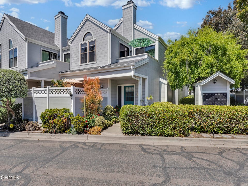


Based on information from the Santa Barbara MLS as of July 27, 2026. Display of MLS data is usually deemed reliable but is NOT guaranteed accurate by the MLS. Buyers are responsible for verifying the accuracy of all information and should investigate the data themselves or retain appropriate professionals. Information from sources other than the Listing Agent may have been included in the MLS data. Unless otherwise specified in writing, Broker/Agent has not and will not verify any information obtained from other sources. The Broker/Agent providing the information contained herein may or may not have been the Listing and/or Selling Agent.
The information being provided by Conejo Simi Moorpark Association of REALTORS® ("CSMAR") is for the visitor's personal, non-commercial use and may not be used for any purpose other than to identify prospective properties a visitor may be interested in purchasing or leasing. Information relating to properties referenced on this web site may originate from the Internet Data Exchange (IDX) program of CSMAR. This web site may reference real estate listing(s) held by a brokerage firm other than the broker and/or agent who owns this web site. Any information originating from CSMAR, relating to a property, regardless of source, including but not limited to square footages and lot sizes, is deemed reliable but not guaranteed and should be personally verified through personal inspection by and/or with the appropriate professionals. Listing data originating from CSMAR is copyrighted by CSMAR and is protected by all applicable copyright laws. Any dissemination of this information is in violation of copyright laws and is strictly prohibited.
What defines it
- 38 beachfront homes reached by a single private road, Sandyland Cove Road, crossing Franklin Creek on the community's only bridge
- Sits in unincorporated Santa Barbara County, west of the City of Carpinteria and west of Ash Avenue
- Protective seawall dates to 1958, enlarged with 37,400 tons of additional rock after 1982-83 storm damage
- Runs through the eastern reach of the 230-acre Carpinteria Salt Marsh, a protected coastal estuary
- Public road access is not available; the nearest public access points are off Ash Avenue and the south end of Linden Avenue
The Housing Stock
Sandyland Cove's 38 beachfront homes sit on individually owned lots reached by a single private road — a small, low-turnover housing stock rather than a large subdivision, with no single uniform construction era across the community.
Frequently asked
Is Sandyland Cove part of the City of Carpinteria?
No. It sits in unincorporated Santa Barbara County, immediately west of the City of Carpinteria and west of Ash Avenue, on a sand spit at the eastern edge of the Carpinteria Salt Marsh. Court records and a state Coastal Commission staff report both place it outside city limits.
How many homes are in Sandyland Cove?
38 beachfront homes make up the entire community, confirmed independently by both a 1992 appellate court record and a 2023 California Coastal Commission staff report. It's a small, single-access enclave in unincorporated Santa Barbara County rather than a large subdivision, reached only by the community's own private road.
How do residents get in and out of Sandyland Cove?
Sandyland Cove Road, a private road, is the sole means of vehicular access, crossing Franklin Creek on the community's only bridge before reaching the beachfront lots. That bridge was built in 1969 and, per a 2020 structural study, cannot support the local fire district's own trucks — a replacement bridge has been proposed.
When was Sandyland Cove built or established?
Accounts differ. The community's own homeowners association states it was established in 1930, while local newspaper reporting describes the homes as built beginning in the 1940s. Both accounts are credible but conflict, so treat the exact founding era as unresolved rather than settled.
Is Sandyland Cove at risk from coastal flooding or erosion?
Yes. A 2023 California Coastal Commission analysis of the community's access bridge treats the site as highly exposed to sea-level rise and storm flooding over the coming decades, and the replacement bridge design anticipates its deck may need to be raised sometime between 2070 and 2075 to keep pace.
Can the public reach the beach at Sandyland Cove?
Not by road — Sandyland Cove Road is private, and parking on it is not permitted. The Coastal Commission identifies the public access points to this stretch of coast as Carpinteria Salt Marsh Nature Park, reached from Ash Avenue, and the shoreline at the south end of Linden Avenue.