Santa Barbara, CA
Downtown Santa Barbara
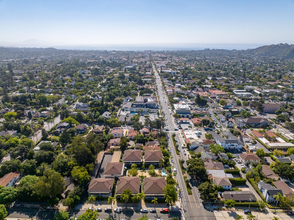
Downtown Santa Barbara forms the city's civic and commercial core, split by the General Plan into two adjoining neighborhoods: Downtown proper, stretching from Sola Street south to Ortega Street, and Lower State, which continues from Ortega down to the shoreline at Cabrillo Boulevard. Under the 2011 General Plan baseline, the two together cover roughly 172 and 122 acres. Zoning favors multi-family and mixed-use construction over single-family lots, with the highest-density commercial designations permitting up to 36 residential units per acre where projects join the city's incentive program. Much of the neighborhood sits inside El Pueblo Viejo Landmark District, where the Historic Landmarks Commission holds new construction and exterior remodels to a Mediterranean, Spanish Colonial Revival, or adobe look — the architectural legacy of rebuilding after the June 29, 1925 earthquake. An ordinance that took effect November 20, 2025 now lets qualifying older commercial and office buildings switch to residential use through a streamlined city permitting path, and separately, City Council has backed a concept to turn the former Nordstrom building into 80 to 112 apartments, though that project remains pre-construction with a 2027 target start. The district's civic core includes the County Courthouse, City Hall, and the Central Library, alongside Santa Barbara Museum of Art and three historic theaters — the Granada, the Lobero, and the Arlington. State Street's central blocks have kept regular vehicle traffic barred since 2020 under an ordinance known as Title 31, a restriction City Council voted in July 2026 to hold in place for another six years.

Homes for Sale in Downtown Santa Barbara
View all Downtown Santa Barbara listings →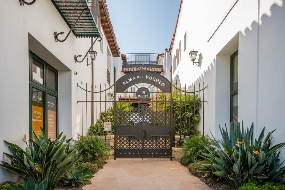
Recently Sold in Downtown Santa Barbara
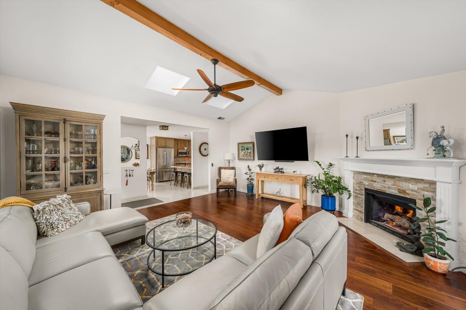
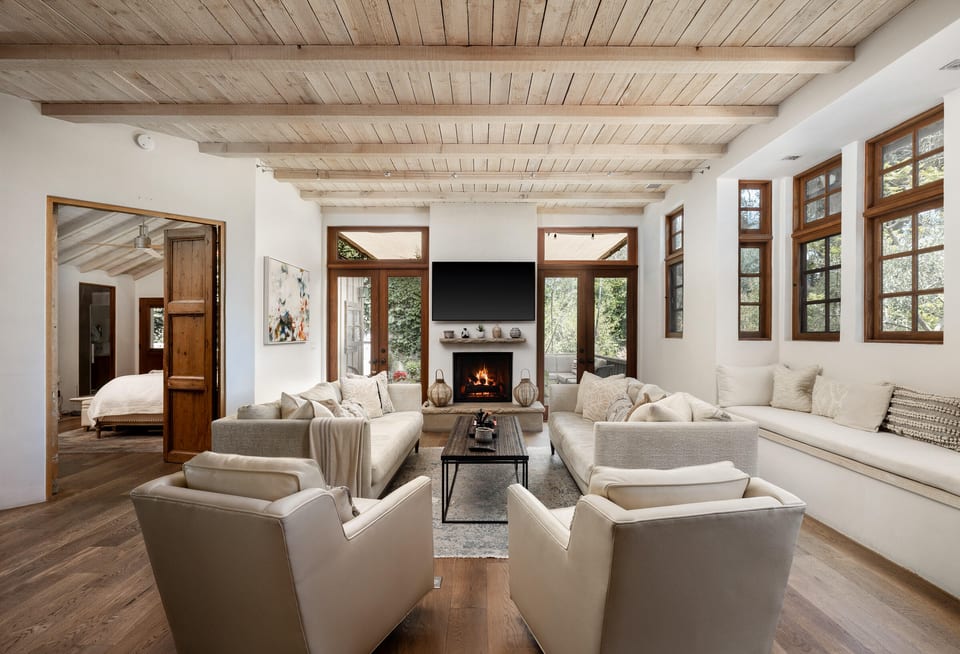
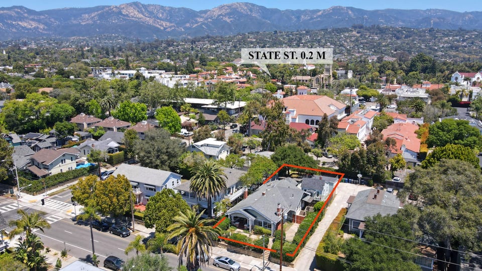
Based on information from the Santa Barbara MLS as of July 27, 2026. Display of MLS data is usually deemed reliable but is NOT guaranteed accurate by the MLS. Buyers are responsible for verifying the accuracy of all information and should investigate the data themselves or retain appropriate professionals. Information from sources other than the Listing Agent may have been included in the MLS data. Unless otherwise specified in writing, Broker/Agent has not and will not verify any information obtained from other sources. The Broker/Agent providing the information contained herein may or may not have been the Listing and/or Selling Agent.
What defines it
- Two adjoining General Plan neighborhoods, Downtown and Lower State, meet at Ortega Street and together stretch from Sola Street to Cabrillo Boulevard at the shoreline
- General Plan zoning permits residential density up to 36 units per acre in the highest-density commercial designations, with density tied to incentive-program participation
- Much of the district sits inside El Pueblo Viejo Landmark District, where the City's Historic Landmarks Commission reviews exterior changes against adobe, Spanish Colonial Revival, and Mediterranean design standards
- A November 2025 city ordinance streamlines converting older commercial and office buildings into housing, with no affordable-unit requirement below 40 units and a 10% moderate-income set-aside above it
- City Council has approved a concept for an 80-to-112-unit apartment conversion of the former Nordstrom building at Chapala and West Cañon Perdido, still pre-construction with a 2027 target start
- State Street's central blocks have kept vehicles out since 2020 under an ordinance known as Title 31, which City Council voted in July 2026 to keep in force for another six years
- The district's civic core includes the County Courthouse, City Hall, the Central Library, Santa Barbara Museum of Art, and three historic venues — the Granada, the Lobero, and the Arlington Theatres
- El Presidio de Santa Bárbara State Historic Park, founded 1782, remains under an ongoing restoration led jointly by its nonprofit steward and California's state parks agency
The Housing Stock
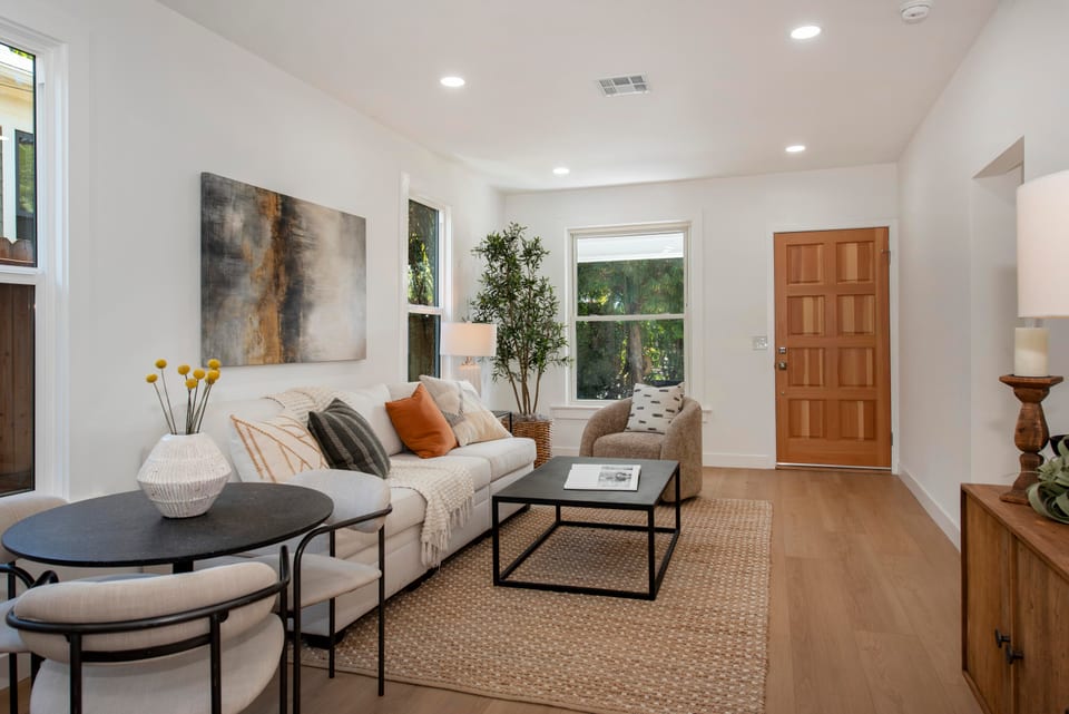
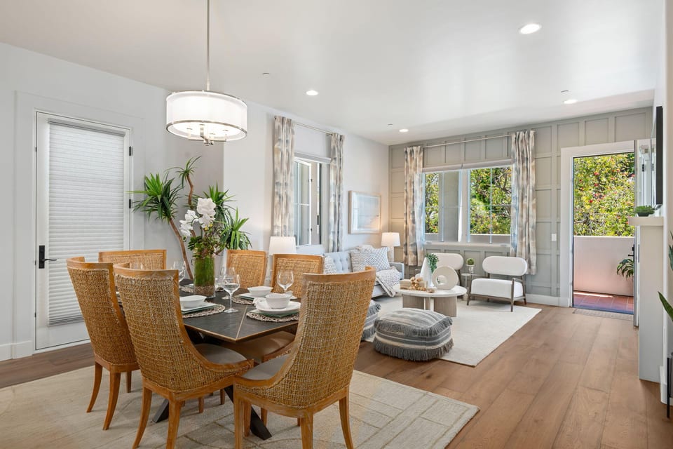
Downtown's housing supply leans toward mixed-use condos and apartments built over ground-floor retail, not single-family lots, and that mix keeps shifting as the city's adaptive-reuse ordinance turns older commercial buildings into new residential units. It's a lock-and-leave product distinct from the larger-lot housing typical of South Coast neighborhoods farther from the core.
Frequently asked
Where exactly does Downtown Santa Barbara start and end?
The city's General Plan sets Downtown's edges at Sola Street to the north and Ortega Street to the south, with Santa Barbara Street forming the eastern boundary and De la Vina Street the western one. Continuing past Ortega, the adjoining Lower State neighborhood carries the corridor down to the shoreline at Cabrillo Boulevard.
Does State Street still ban cars in its core blocks?
Yes. City Council voted 5-2 on July 1, 2026 to keep State Street's core blocks car-free for another six years under the city's Title 31 ordinance. Vehicles remain barred from the 500 through 1100 blocks, the 1200 block still carries one lane of traffic, and the city has not yet adopted a permanent State Street Master Plan.
What new housing is coming to downtown?
An ordinance that took effect November 20, 2025 lets qualifying older commercial and office buildings switch to residential use through streamlined city permitting, with no affordable-housing set-aside required for projects under 40 units. Separately, City Council has backed a concept to turn the former Nordstrom building into 80 to 112 apartments, though entitlement applications are still expected later in 2026.
Why is downtown's architecture so uniformly Spanish Colonial Revival?
An earthquake on June 29, 1925 leveled much of the district, and the rebuild that followed established the adobe, Spanish Colonial Revival, and Mediterranean character that city design rules have enforced downtown ever since. Inside El Pueblo Viejo, exterior projects and new buildings need Historic Landmarks Commission approval before permits issue.
Does Downtown have any schools of its own?
No. The city's General Plan is explicit that none currently sit within Downtown's boundary. Santa Barbara High School sits in the adjoining Laguna neighborhood, alongside Santa Barbara Junior High School.
What are the main cultural landmarks downtown?
The neighborhood holds the Santa Barbara County Courthouse, City Hall, and the Central Library, plus Santa Barbara Museum of Art, which reopened in August 2021 following a six-year renovation priced near $50 million. Three historic performance venues round out the district: the Arlington, which opened in 1931 on a site once occupied by a hotel the 1925 earthquake destroyed; the Granada, opened 1924 and restored between 2005 and 2008; and the Lobero, described on its own official site as California's oldest continuously operating theater.
Can I get around downtown without a car?
Largely, yes — Downtown ranks among the more car-optional pockets of the South Coast. State Street's core blocks bar vehicle traffic, and an MTD shuttle covers downtown along Anacapa and Chapala Streets. Just south in Lower State, the Santa Barbara Amtrak Station connects riders to Amtrak's Pacific Surfliner and Coast Starlight services.